Making Layers look right
I seem to have trouble making elements on a plan properly layer together.
I've been using the Figures feature to help me work out aspects of the scenery substrate and related elements of the design.
So in one spot I have track that was laid in as going up a hill. In the section I am working with, the lowest part of the slope is 3.31 inches. The track rises to a height of 5 inches.
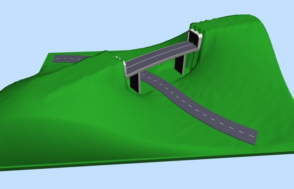
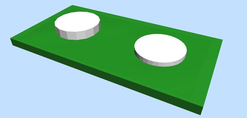
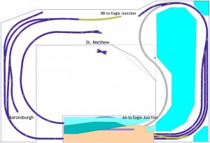
Using Figures, I've drawn images to represent blocks of cut-up insulation foam that would be supporting scenery and tracks. I set the properties so that the height of the blocks is lower than the height of the track. Yet when I look at the plan, the track is hidden by the blocks.
(ADDED) Also, some of the blocks themselves don't come out in the right order on the plan, like the block I created to represent a two-sided backdrop, which is much taller than everything else yet is "covered up" in parts of the plan by blocks that are not as high as it is
Like this:
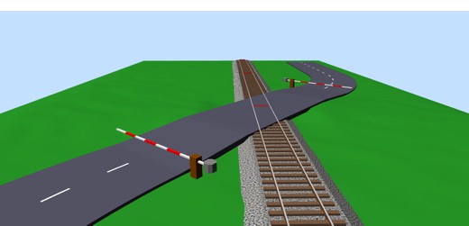
When I go to 3-D mode, the images render properly:
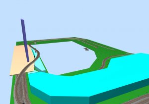
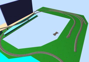
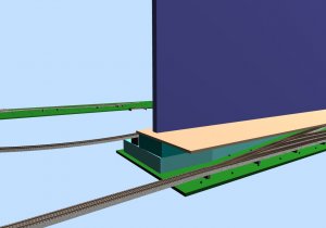
But I want to see the "layers" in their proper order when I am looking at the map. It's much less confusing that way.
Is there some way to make this happen?